Straight Line Attempt in Palestine 2020
Artist residency at Al Ma'mal Foundation, Jerusalem
Artist residency at Birzeit University supported by A.M. Qattan Foundation and through the VAFF project, funded by Sweden.
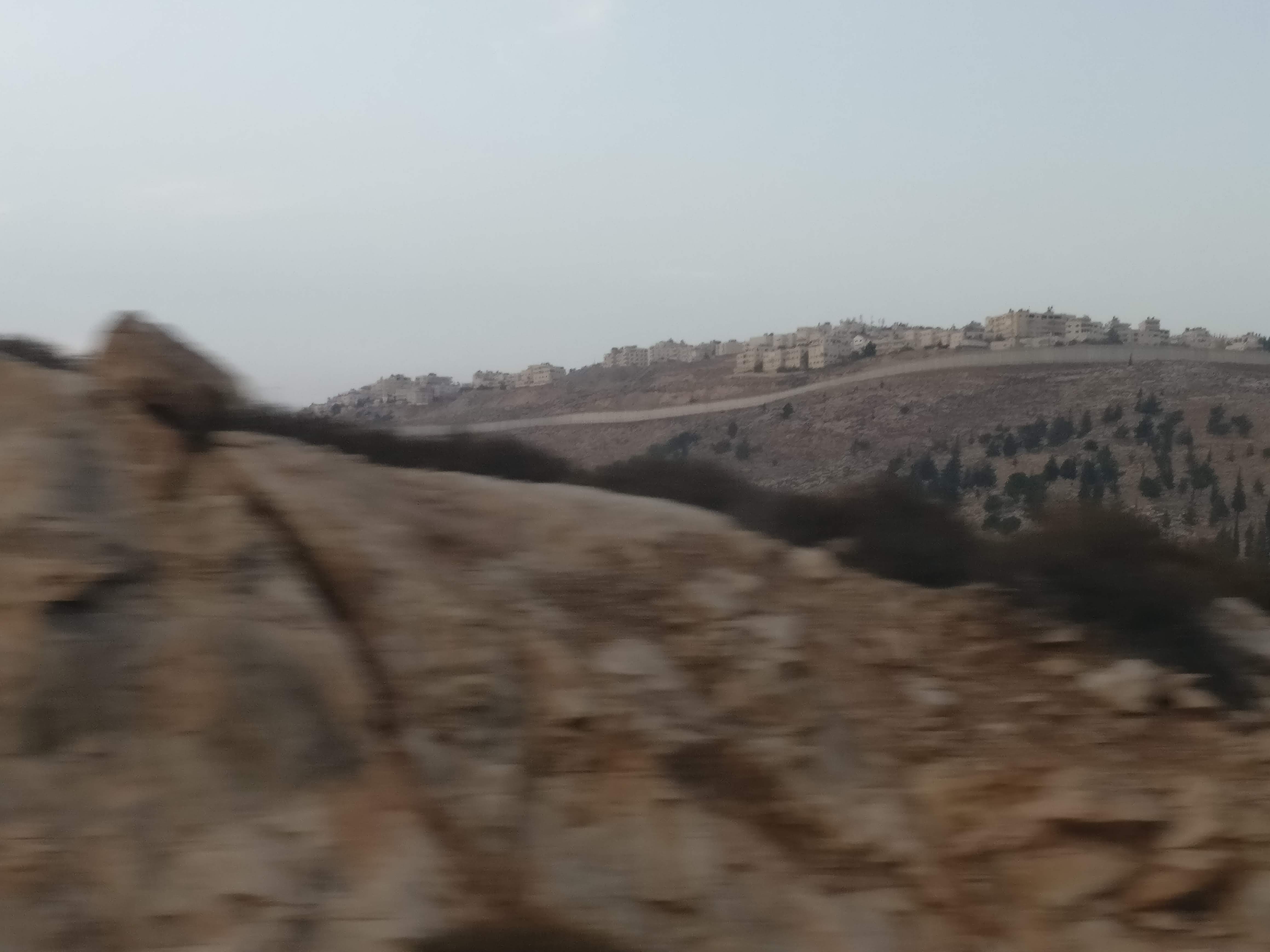
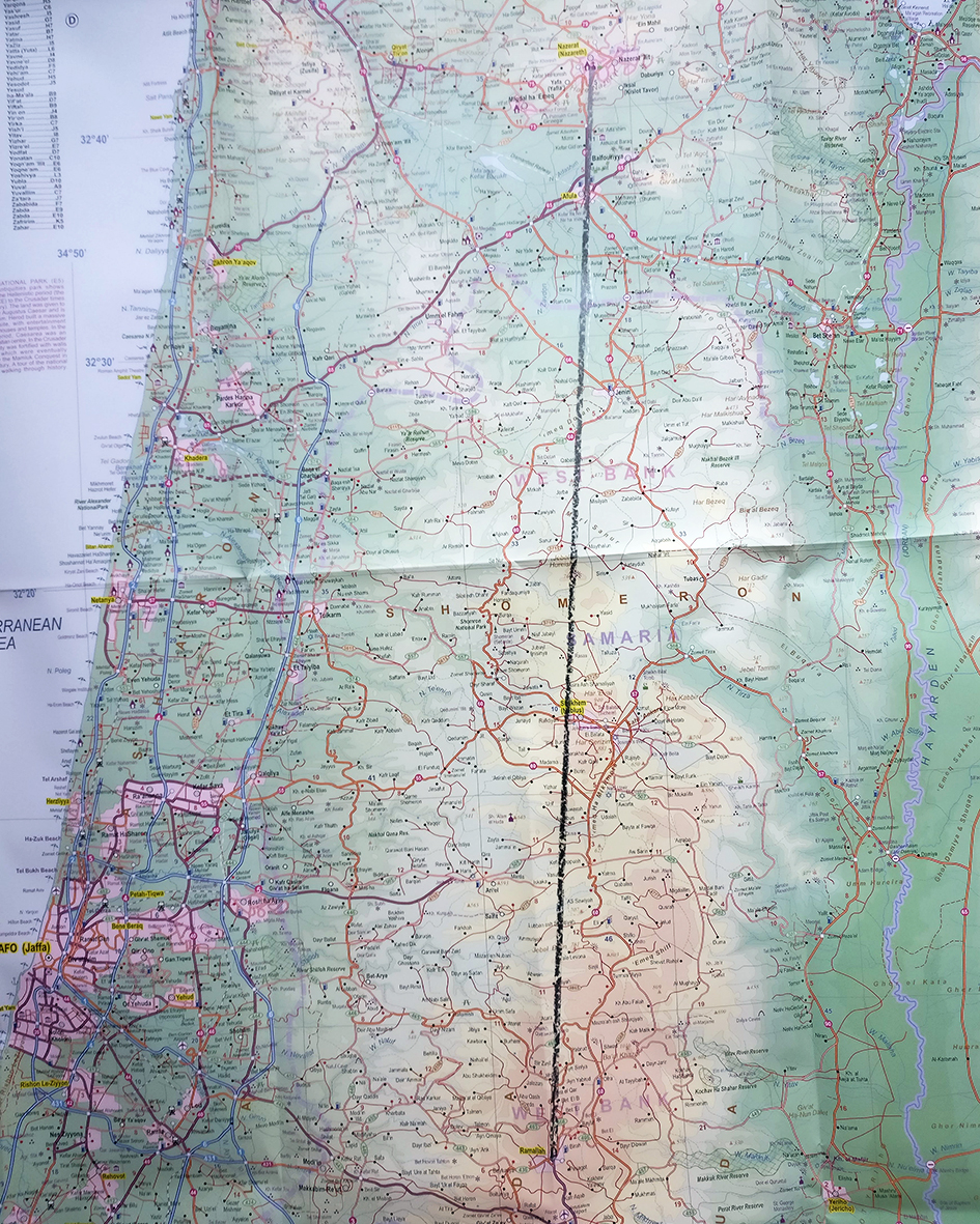
My starting point is the line drawn by Sykes and Picot on a map in 1916, thereby dividing the region between the French and British forces. This line, now over 100 years old, still influences contemporary politics. I want to repeat this action: suppose I draw a straight line with a pencil on a map from Nazareth to Ramallah. With the help of a land surveyor, I plan to draw a part of that line in the landscape. How wide will it become in relation to the actual surroundings? It will be a territory, rather than a line. The pencil line (2 mm wide) on the map will be a 0,450 km wide territory in the landscape. How can I take a position in this action in an artistically interesting way? This seemingly simple gesture evokes many political and post-colonial connotations. I am aware that this is a complex and charged action, which is why I need to investigate this further. How can I make a difference?